Google Maps is a very useful tool for everything that has to do with maps. But a problem that we sometimes come across is that we cannot see the territorial limits, for example, when we change cities, Autonomous Communities or provinces. And for this reason, you may have wondered on occasion how to see the provinces of Spain on Google Maps . But the reality is that if you want to know what the provincial limits of your area are, the process is quite simple.
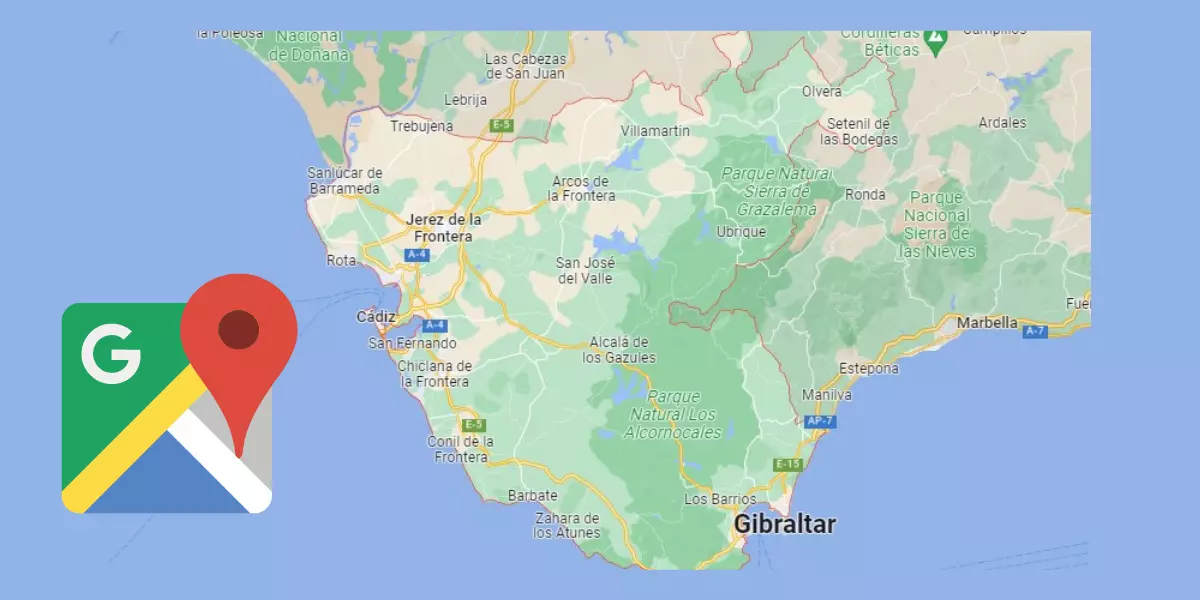
Thus, if, as in the image, you want to see the limits of the province of Cádiz, all you have to do is go to the Google Maps search engine and write «province of Cádiz». In this way you will be able to see how the limits of the province in which you are interested appear on the map .
The only problem with this option is that we can only use it to find out the limits of a specific province . In the event that what we need is to see a map of Spain with the division into all the provinces, we will have it a little more complicated, since the division of a territory into provinces is a possibility that Google Maps does not offer us at the moment.
But if you just want to know where a province begins and ends , doing so is as easy as doing a little search.

PROVINCES AND CAPITALS OF SPAIN ON GOOGLE MAPS
If you want to know the provinces and capitals of Spain on Google Maps, you should know that it is not a service that the maps application offers us a priori. But that doesn’t mean we can’t check it out. And it is that thanks to Google MyMaps any user can create a map and share it, in such a way that it offers us services that we cannot find by default implemented in the maps app.
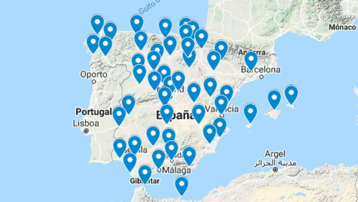
Thus, we can find a map made by a user called Provinces of Spain . In this map all the capitals of the different provinces of Spain appear marked with blue arrows. It is true that on this map we cannot see the provincial limits, but we can see the location of their capitals, which will help us get an idea of the territorial division of our country.
If we click on each of the arrows that correspond to the provincial capitals, we can find information about the capital , its inhabitants and its main characteristics. In addition, in each of them we will find a link that will take us to additional information about each place. Therefore, this map is ideal if what we want is to get to know our country a little more in depth.

3D VIEW OF PROVINCES ON GOOGLE MAPS
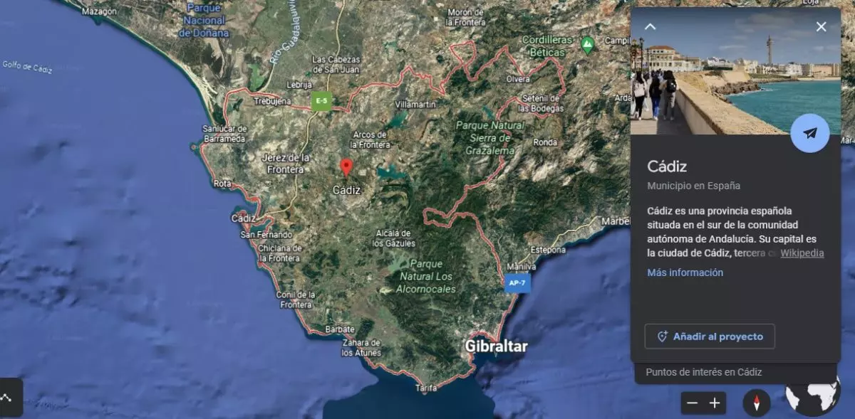
If you want to access the 3D view of provinces on Google Maps , you can do so through the satellite view. The only thing you have to do is, as we have indicated previously, write, for example, “Province of Malaga” in the search engine. Later, at the bottom where we can choose the view of our map, we will choose Satellite view. There we can see the same map with the limits of the province that we had seen previously, but in this case with three-dimensional images. This will help us get a more real idea of the geography of the province in which we are interested, so that we can get to know it a little better.
Another interesting option may be to use Google Earth , Google’s tool for accessing three-dimensional maps. The procedure is the same, the only thing we will have to do is write «Province of Madrid» (or the one we want) in the search engine and a three-dimensional map will appear in which we can see the appearance of the province. In this way, learning geography becomes much easier.