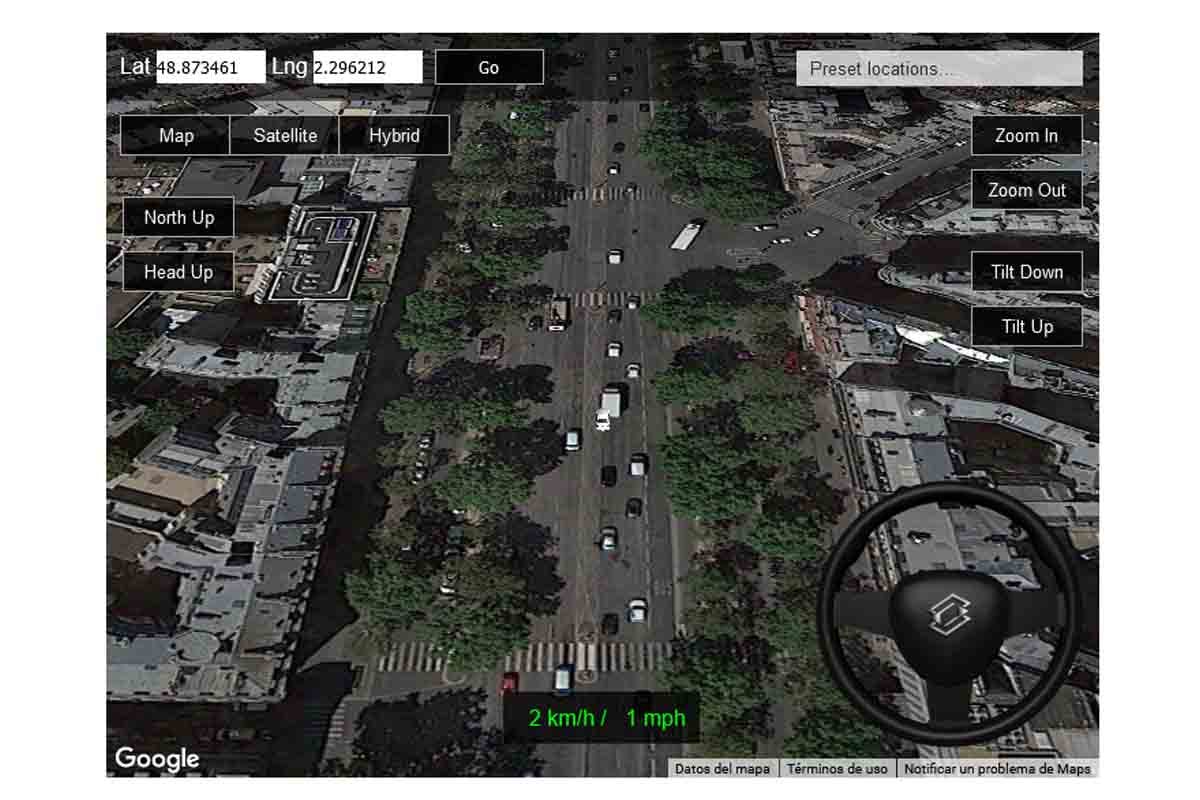
Can you imagine simulating driving around the Eiffel Tower in Paris? Or on the Paseo de la Castellana in Madrid? Travel the world with Google Maps . This is the driving simulator that uses Google Maps.
The technology created by Frame Synthesis and the maps of Google Maps come together to make the user live a unique experience, that of simulating the driving of a car anywhere in the world, however remote.
This simulator was released in 2014 in html5 version. In this year 2021, various improvements have been made to improve the user experience and simulate driving anywhere in the world. In January, Zoom buttons were corrected and the turn signals and bus were removed.
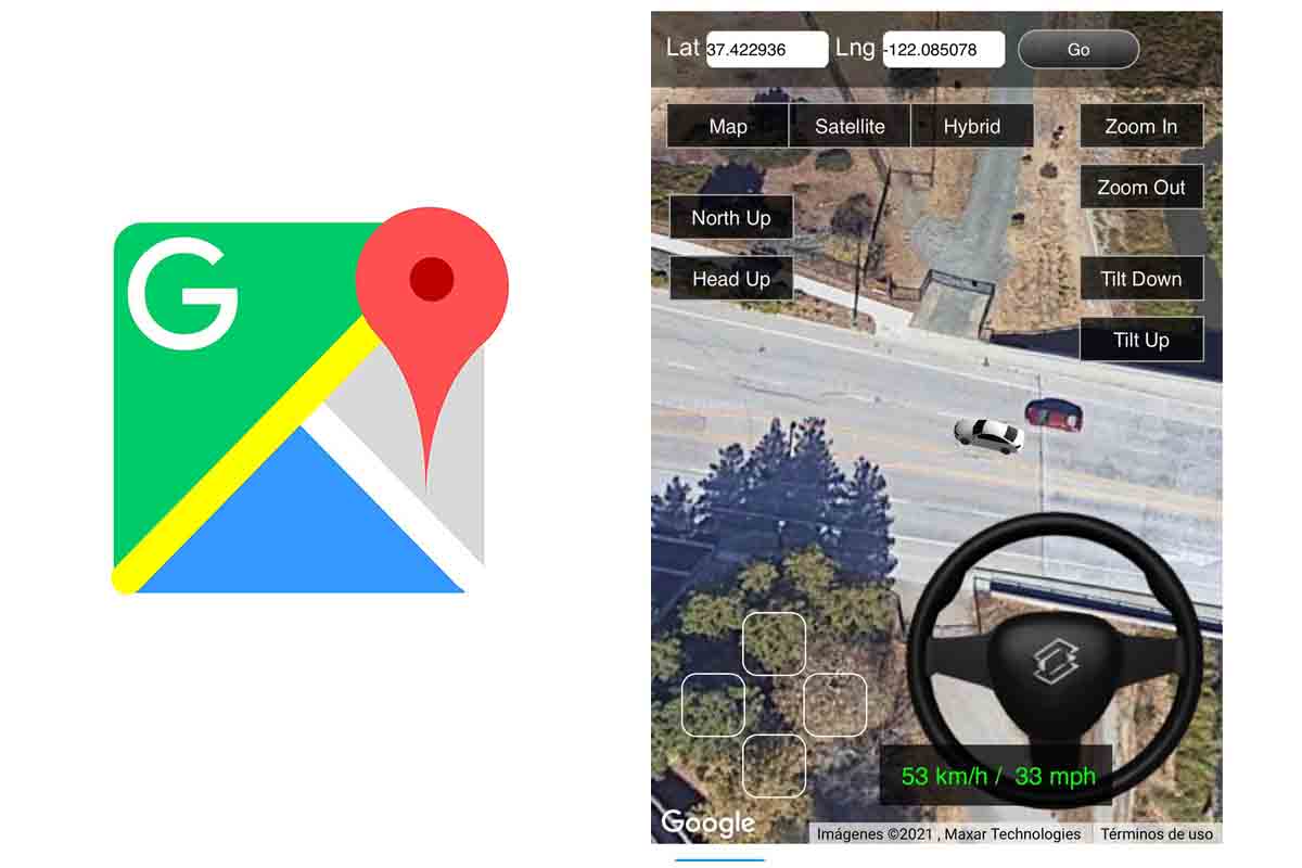
Since the month of May, latitude and longitude options were introduced to locate any place in the world through coordinates. A stick was also put in place that makes driving easier from any mobile device and the page was also adjusted so that the simulator can be seen perfectly on both Android and iPhone mobiles.
Now the experience has been improved by adding different map views, camera tilt and direction buttons to get a near perfect view inside the simulator.
3D DRIVING SIMULATOR ON GOOGLE MAPS
We are going to discover how 3D driving simulator works on Google Maps , this is the driving simulator that uses Google Maps maps and that shows you what it would be like to drive around any corner of the world.
Well, as you read, this simulator receives the official name of 3D driving simulator on Google Maps. It is a simple driving simulator that uses a Google Maps plugin to drive a car through the maps of the whole world.
You can open the simulator from any web browser, on PC or mobile phones by accessing the Frame Synthesis page or by clicking here . The simulator will open. At the top left you will have the latitude and longitude boxes. If you want to find a place on a map, look for the coordinates in Google Maps and then insert them in those boxes . This way you will locate any place in the world.
The simulation is very easy and is handled with the keyboard . The left and right arrows are used to steer the car, the upper one to move forward and the lower one to reverse.
If, on the other hand, you want to simulate driving anywhere, this simulator has twelve locations by default. You can display them by clicking on “Preset locations” the button you have in the upper right part of the screen. Among these pre-established cities are London, Manhattan, Tokyo station, the Arc de Triomphe in Paris or Las Vegas.

In the simulator you can also choose the type of Google map. You can select map view, satellite view or hybrid. They can also configure the Zoom on the map that you want to be shown when you are driving the car. You can click on “Zoom in” if you want to bring the car closer on the road or “Zoom out” if you prefer to zoom out.
They can also customize the tilt on the map with the “Tilt Down” or “Tilt Up” buttons. With the first the view will be in a perspective almost perpendicular to the car and with the second the view will be practically from above, overhead.
With regard to perspective, the “North Up” buttons where the car is viewed perpendicularly or the “Head Up” button where the camera is located right at the rear of the car also stand out. On the right there is also a steering wheel that rotates depending on how you move the driving arrows.