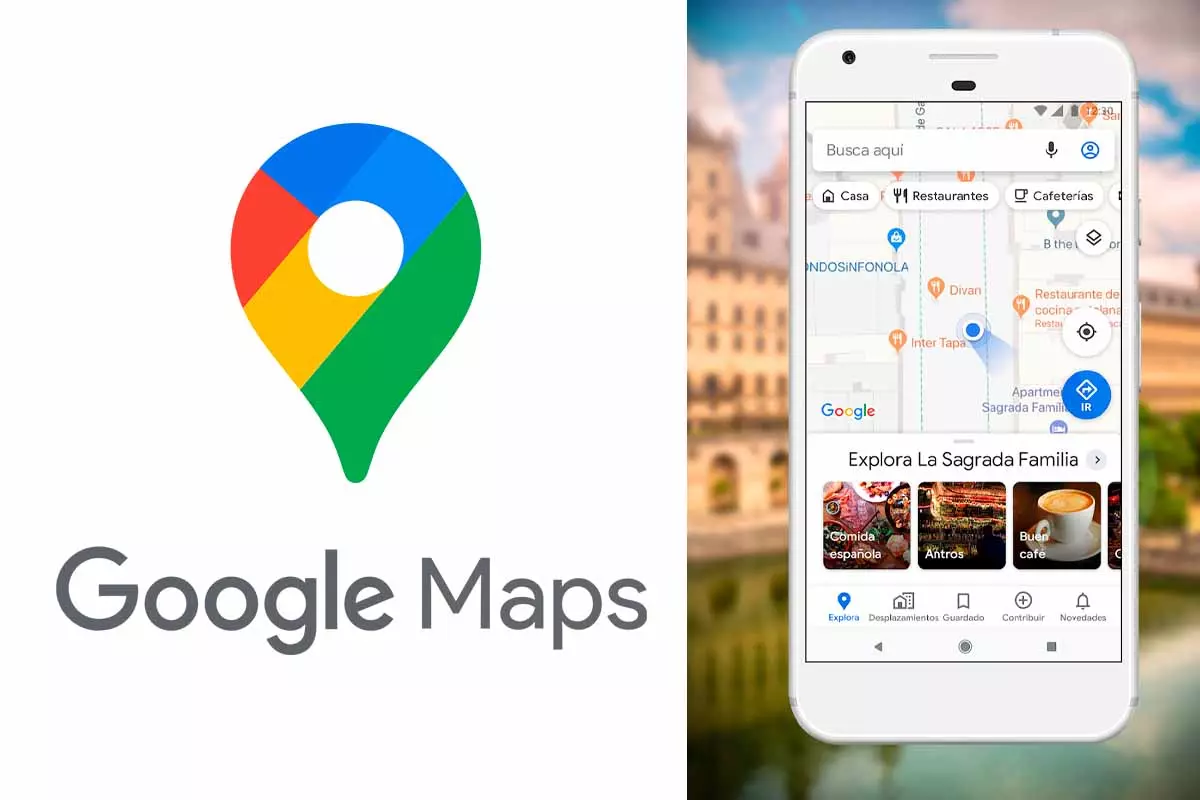
Google Maps is one of the map applications that most users use to get around in their day to day. Its interface has a lot of visual information, so it is always important to know all the elements that are displayed. Today we explain what the blue dot means on Google Maps.
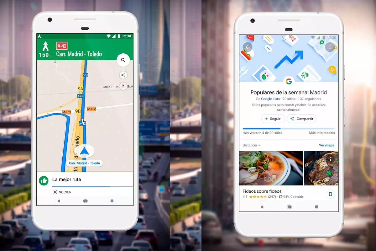
More than a billion users already have Google Maps around the world. This app has become a great tool to be able to get anywhere in a simple and comfortable way and through easy instructions. But this application is much more than a GPS, as it is capable of showing you the number of people in a place, the skilines of cities like Madrid or Paris or the gas stations where fuel is cheaper.
The Google Maps interface is simple and intuitive and is made up of a series of symbols that, through colors, provide us with a lot of information. Also, today we explain one of them, find out what the blue dot means on Google Maps and use it to obtain much more information about the environment.
The blue dot shows your location on the map , that is, the exact place where you are at the moment. If Google Maps can’t pinpoint your location because there’s no stable connection, a light blue circle will appear around that blue dot. This celestial circle determines that you can be anywhere within it. The smaller the circle, the more accurate the location displayed by the Google Maps app.
Now that you know what the blue dot means on Google Maps, you should also keep in mind that if sometimes this dot is not visible or is shown in gray, that means that Google Maps cannot find the current location and shows you the last one you visited and that it was able to detect.
How to calibrate the compass in Google Maps when it fails
In addition to what the blue dot means in Google Maps, we are also going to tell you how to calibrate the compass in Google Maps when it fails . The compass is related to the blue dot because both determine your location.

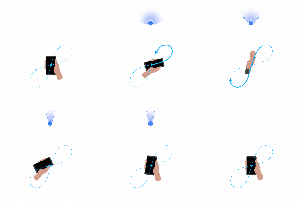
The compass appears by pressing the circular icon with an arrow inside that is displayed at the bottom right inside the map. To calibrate the compass you can connect to Wi-Fi, restart the phone and there is also a practice that is recommended by Google. This practice is based on holding the mobile with your hand up and then turning your wrist making a figure eight pattern in the air horizontally, repeating the movement three or four times. Later you will see that the location has changed and is much tighter and more accurate.
Also keep in mind that in addition to the blue circle compass there is another one in red, if you press it the orientation of the map will change and the red compass will point north.

How to know my current and precise location with Google Maps
Google Maps is capable of showing you your exact location on a map. So how do I know my current and precise location with Google Maps? Coming up next, we tell you.
To know the current and precise location you just have to open Google Maps on your mobile device, either with iOS or Android. Then click on the white circular icon with a blue arrow inside it. A blue dot will appear on the map and a Zoom will be made on the area where you are.
Remember that if you have a low internet connection or you are in a place surrounded by tall buildings, the location may not be completely accurate . You just have to move the phone slightly drawing eight in the air for the Google Maps compass to position you and give you the exact location where you are.