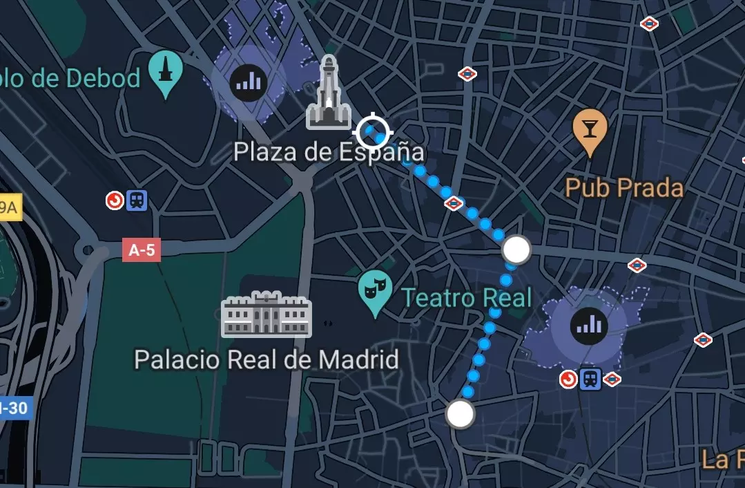
Google Maps allows us to reach our destination without getting lost and by the fastest route. If you don’t know how, here ‘s how to measure the distance between two points with Google Maps . This is especially useful if we are out of town. We can also trace a route between two points, either by transport or on foot.
The application that we will use, Google Maps, is 17 years old. From the beginning it has become a tool to guide us and trace a route. Over time, it has implemented new formulas to anticipate the unforeseen, from knowing the volume of traffic to the cadence of public transport , and even sharing our location. Whether from a computer or smartphone, it makes our lives easier and is available for free on the Google Play Store and the App Store .
If we want to measure the distance between two points with Google Maps on a smartphone, we must follow these steps :
- The first thing is to open the application, in which we will see the map of the area that surrounds us
- We hold down the place from which to measure the distance (it is important that this is not a name)
- A tab will open with photos of the place and data. At the bottom of the tab, click “Measure distance”
- The map will open, where a straight line will be drawn from that place and the other place where you measure the distance
- Moving around the map, we place the end of the line where we want and below the distance will be shown in a straight line
- We can add points to calculate the distance between different places, as if they were stops
HOW TO MEASURE THE ROUTE BETWEEN TWO POINTS ON GOOGLE MAPS
Knowing how to measure the route between two points on Google Maps is one of the first fundamental things that we must learn . Although we see it that way on the map, it is practically impossible to get from one point to another in a straight line. In real life, we skirt buildings, transfer lines, or turn around diversions. Google Maps knows this and allows us to trace a route between two points so that the application itself tells us how to get there depending on the transport chosen and the possibilities of the map.

When opening the application, we will see a search bar at the top. There we will write the place we want to reach. When we select it, the map will change from where we are to that place, which will appear as a red dot. Below we will find two options: “How to get there” and “Start”. If we press the second, Google Maps will tell us in real-time how we should go and what vehicles to take to get there, but what interests us is the first option.
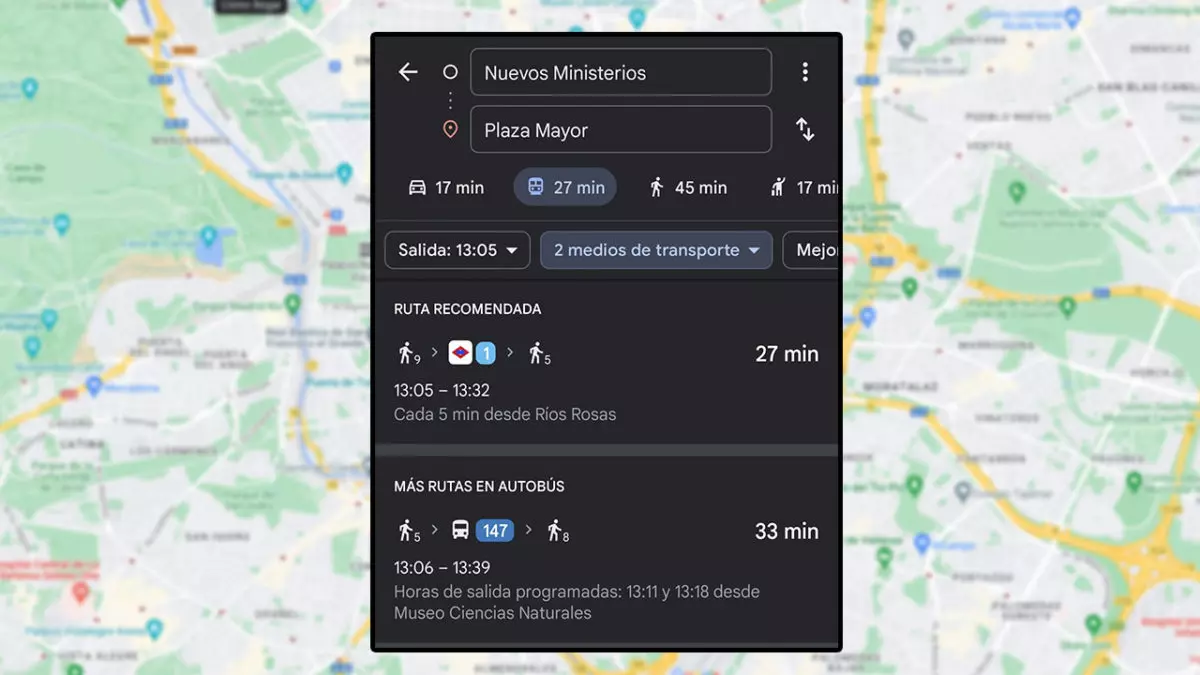
If we press «How to get there», the route between our location and the destination will appear. Below the search bars will appear the icons of a car, a train, a person walking, a person asking for a taxi, and a person on a bicycle, along with the time it would take to get there depending on the one you choose. Depending on what we press, we will select the vehicle of the icon. However, the second icon, that of the train, is divided into the different public transport options: bus, train, metro, and tram, which we can combine. In turn, the recommended route will be shown in blue, while the alternatives in gray.
HOW TO MEASURE WALKING DISTANCE ON GOOGLE MAPS
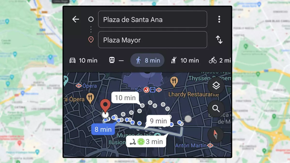
Finally, we will explain how to measure walking distances on Google Maps. The way to do it is similar to the previous one since we choose the icon of the person walking in “How to get there” . This will show the route that we must follow from where we are, or from the beginning of the route that we want, to the destination. As we said before, the recommended route appears in blue while the others in gray.

Below we will see the duration and length of the route in time and distance , respectively. We can choose the route we want by clicking on the time of each one. Once selected, press Start for Google to guide us. After several updates, Maps integrates tools, such as Live View to locate us if we do not recognize the terrain or the compass, to know our position with respect to north.