For more than a month the world has been aware of the war in Russia and Ukraine. If you are not very sure where the fight is located, we will tell you on Google Maps: where to locate the conflict between Russia and Ukraine.
Google Maps is one of the most used applications by drivers and pedestrians to get the best directions when traveling anywhere. The application was born in the early 2000s and currently exceeds one billion users worldwide. On the platform, in addition to finding the best route for your trips or knowing the traffic conditions, you can obtain the latitude and longitude data of any point or you can entertain yourself with the craziest photos that the Google camera has captured.
But in Google Maps you can also know the location of any country or city in the world quickly and easily. In this regard, look at Google Maps: where to locate the conflict between Russia and Ukraine to help you better understand where the war is taking place and the distance from Spain.
Contents
GOOGLE MAPS UKRAINE, MARIUPOL
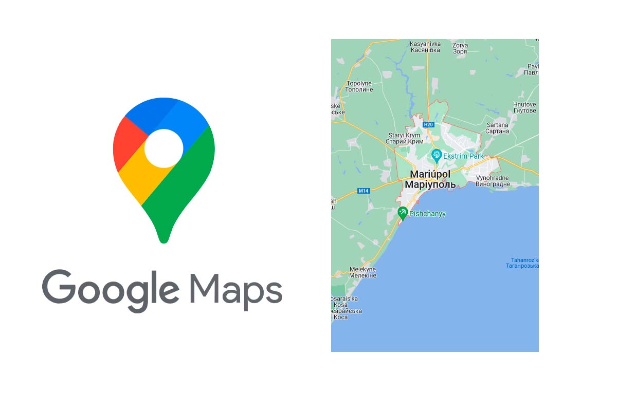
Discover on Google Maps: where to locate the conflict between Russia and Ukraine, starting with the cities that are being most affected by the bombings. Let’s see on Google Maps Ukraine, Mariupol.
Mariupol has been bombed since the beginning of the war. It is one of the cities where there have been more casualties exceeding 5,000. The attacks have destroyed schools, gardens, factories, entire residential buildings and hospitals. One of the worst bombings was experienced on March 9 when Russian forces attacked a maternity hospital.
To locate where Mariúpol is, go to Google Maps and in the upper search box write Mariúpol. Next, the delimitation of the city will appear and if you scroll down you will see how it was before the conflict and a brief review of its situation between the Kalmius and Kalchyk rivers.
GOOGLE MAPS UKRAINE, CHERNOBYL
Another of the locations of the war conflict is the one that was once the protagonist of the nuclear accident that killed many people and whose radioactivity has affected everything for decades. Look on Google Maps Ukraine, Chernobyl.
Enter Google Maps and in the top search engine type Chernobyl. The city boundary will appear. You can zoom out with your fingers to see it on a larger map. On the map, the location of the “monument to those who saved the world” stands out.
The importance of Chernobyl is due to the fact that the nuclear power plant that suffered a nuclear accident in 1986 is located there. Russian troops entered the city with the intention of controlling the nuclear power plant, now the latest news indicates that they have withdrawn from this city.

GOOGLE MAPS RUSSIA, MOSCOW
We continue to discover on Google Maps: where to locate the conflict between Russia and Ukraine. If we have seen the cities of Ukraine, now look on Google Maps Russia, Moscow.
Moscow is the center of operations, it is the capital of Russia and it is from there that the orders of the conflict are given. To see its location, go to Google Maps and type Moscow in the top search box. The center of the city and the main communication routes will appear, as well as its neighborhoods.
GOOGLE MAPS RUSSIA, SAINT PETERSBURG
Look at Google Maps Russia, Saint Petersburg. Saint Petersburg is one of the most important cities in Russia after the capital. In it there was a demonstration where citizens opposed the war.
If you go to Google Maps and search for Saint Petersburg in the upper box, you will see that it is the city that most limits other European cities such as Finland, Estonia or Latvia. Saint Petersburg is attached to the Baltic Sea.